GPS Under Siege in the Persian Gulf: How Electronic Warfare Is Disrupting Navigation

GPS Under Siege in the Persian Gulf: How Electronic Warfare Is Disrupting Navigation
By
Alina Sinclair
Last updated:
March 27, 2026
First Published:
March 27, 2026
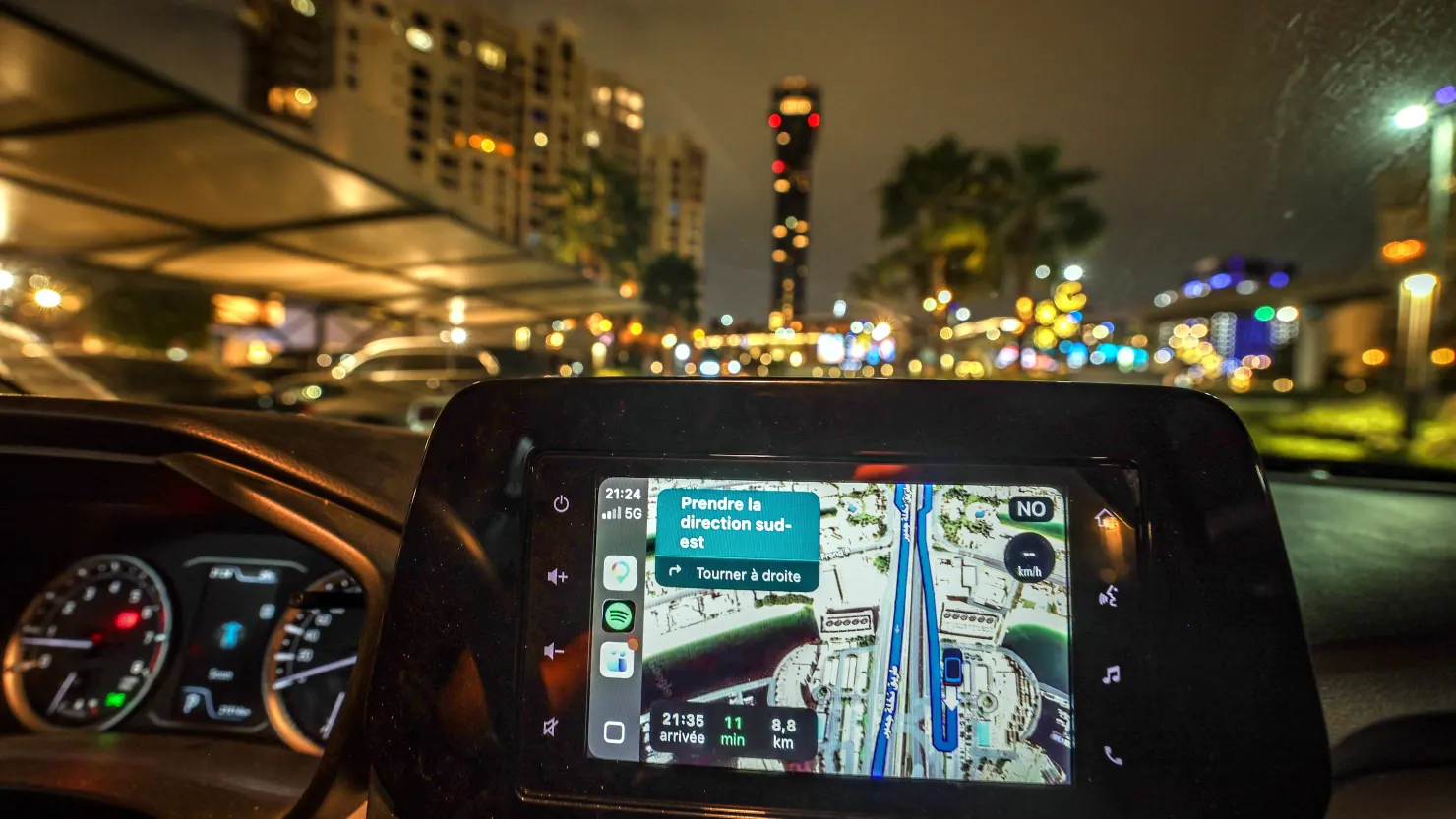
The screen of a GPS attached to the dashboard of a vehicle as residents of Dubai face GPS disruptions on March 9, 2026, in Dubai. The United Arab Emirates decried that it was being targeted “in a very unwarranted manner” in the war, stressing it would “not partake in any attacks against Iran”, which has lashed out at Gulf countries seen as US allies. (Photo by AFP via Getty Images)
- | Afp | Getty Images
Since the outbreak of the U.S.-Israel conflict with Iran on February 28, disruptions to satellite-based navigation have surged across the Persian Gulf. These electronic interferences, often deployed as defensive measures, are designed to “confuse” enemy drones and missiles. Yet, the consequences extend far beyond the battlefield, creating significant risks for civilian vessels, aircraft, and motorists.
Hours after the initial strikes, analytics firm Kpler observed unusual ship movements across the Gulf. Some vessels appeared to travel over land or follow sharp polygonal routes, signaling severe distortions in Automatic Identification System (AIS) data, the technology used to track vessels in transit. Within the first 24 hours of the conflict, maritime intelligence company Windward reported over 1,100 vessels affected by AIS interference, followed by a 55% increase the following week.
Experts say these disruptions reflect a broader strategy by Gulf states to safeguard critical infrastructure from drone and missile attacks. “There are multiple entities actively jamming GPS and other satellite navigation signals for a variety of reasons,” said Clayton Swope, deputy director of the Aerospace Security Project at CSIS. Similar forms of electronic warfare have been observed in Ukraine since 2022, highlighting the growing role of navigation interference in modern military strategy.
The impact on civilian operations is undeniable. Aircraft have been tracked in erratic, wave-like patterns, and land-based GPS failures have caused delivery drivers to appear in impossible locations, including offshore near Dubai. Lisa Dyer, executive director of the GPS Innovation Alliance, warns that continued interference poses serious public safety risks, affecting emergency response, maritime safety, and everyday navigation. The Strait of Hormuz, only 21 miles at its narrowest point, remains a critical choke point for oil transport, making accurate positioning essential to avoid collisions and grounding.
Adding another layer of complexity, Iran appears to be leveraging alternative navigation systems to maintain operational precision. Reports suggest Tehran may have access to China’s BeiDou satellite network, enhancing the accuracy of missile and drone strikes. BeiDou, now in its third iteration since 2000, has become a major global constellation alongside GPS, Europe’s Galileo, and Russia’s GLONASS. While some analysts argue Iran’s use of BeiDou does not require direct coordination with China, it highlights the increasing role of multiple satellite networks in regional conflicts.
Despite these developments, experts note that satellite navigation is not entirely unreliable. Modern navigation chips can receive signals from multiple constellations, mitigating some risks posed by jamming and spoofing. However, the current crisis underscores the limitations of relying solely on satellite-based systems. Companies like SandboxAQ are exploring alternative technologies, including magnetic-field-based navigation, to provide more resilient positioning in contested environments.
For U.S. military forces, the impact of electronic interference may be limited. Swope notes that American forces are upgrading to jam-resistant GPS signals designed to operate in environments with high interference, potentially giving them a strategic advantage. Nevertheless, the events in the Persian Gulf reveal a growing vulnerability that affects not only military operations but global shipping, aviation, and logistics—raising urgent questions about the resilience of satellite-based infrastructure in conflict zones.
.webp)
Popular articles


Subscribe to unlock premium content
Soaring Above Luxury

A Taste of Italy Redefined

Designing the World, One Market at a Time

Soaring Above Luxury
A Taste of Italy Redefined
Soaring Above Luxury